
Huntsville Alabama Construction Progress Photography
Huntsville Drone Photography & Video for Construction
Construction Progress Updates for Alabama - Tennessee - Georgia - Mississippi
Protect your investment and provide timely construction progress updates to stakeholders with custom, high quality video and drone photography. Daniell Drone Photography & Media has successfully provided hundreds of construction drone photography packages to top global and local construction companies across Huntsville, Alabama, and the Southeast. Our team is licensed, insured, OSHA 10-hour Industrial certified, and equipped with personal protective equipment (PPE) to prioritize safety. Our professional aerial construction photography is delivered to your team at much higher resolution than represented on this page. Upon request, we will send our full size media samples and/or schedule a free consultation, call us at (256) 410-1830 or Contact Us today.
How Our Construction Progress Packages Work
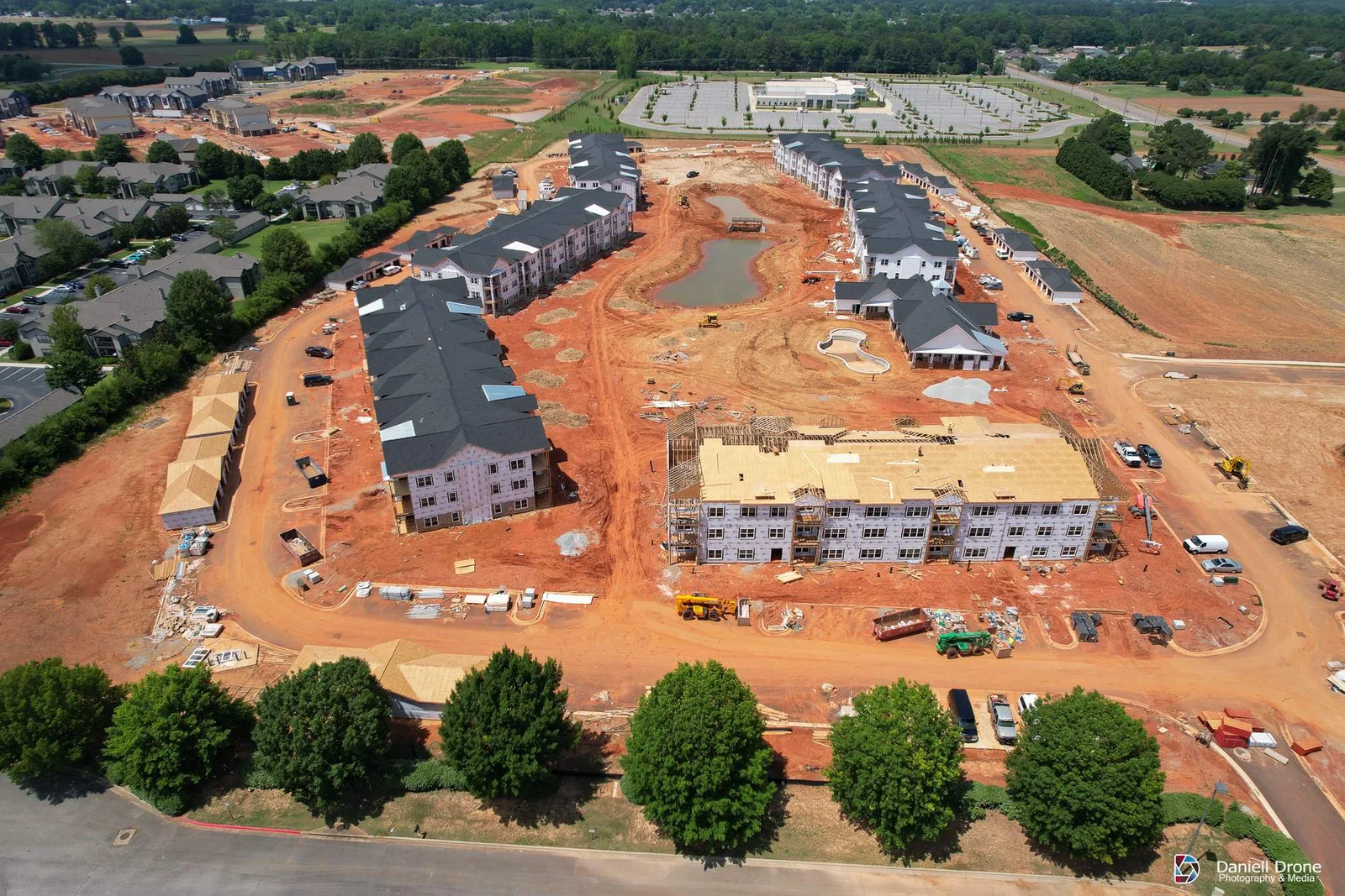
Most of our construction clients put us on a recurring schedule. We fly your site weekly, biweekly, or monthly depending on the pace of the build and what your stakeholders need to see. On each visit we capture the angles and altitudes you request, so your photos give you crucial information about the construction site. That consistency is what makes progress photos useful for owner reports, draw requests, and dispute documentation, not just marketing.
Photos are uploaded to a secure cloud folder, normally by noon the next business day, organized by date so your project managers can pull what they need without calling us. Video clips, 360 panoramas, orthomosaic maps and 3D mapping can be added to any package. If you need documentation for a claim or a specific milestone, tell us before the flight and we will build the shot list around it.
Construction Drone Photography Across North Alabama
Our base in the Decatur and Huntsville area puts most North Alabama job sites within an easy drive, which keeps travel costs off your invoice. We regularly fly construction sites in Huntsville, Madison, Athens, Decatur, Hartselle, Cullman, Scottsboro, Guntersville, Florence, and the surrounding towns. We also regularly cover the Southeast with 107 certified pilots in Canton Mississippi, Birmingham, Nashville, Chattanooga, Memphis, and Atlanta.
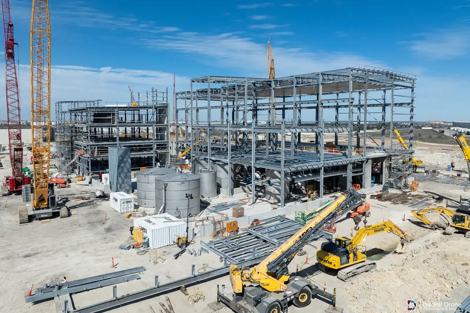
In 2025 alone we documented thousands of acres of active construction across Alabama, Mississippi, Tennessee, and Georgia, including several hyperscale data center campuses of more than 250 acres each. Large sites are our normal workload, not a stretch. If your project is a data center, distribution hub, plant expansion, or any build too big to see from the ground, we already have the equipment and the workflow in place.
A lot of Huntsville sits inside controlled airspace, including everything near Redstone Arsenal and Huntsville International. We handle the FAA airspace authorization before we ever show up, so your superintendent never has to think about it.
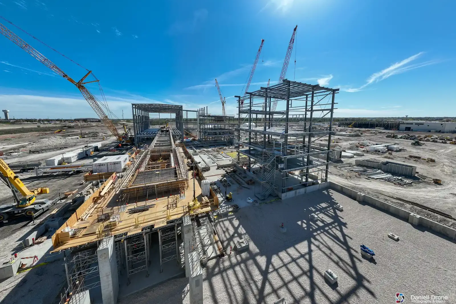
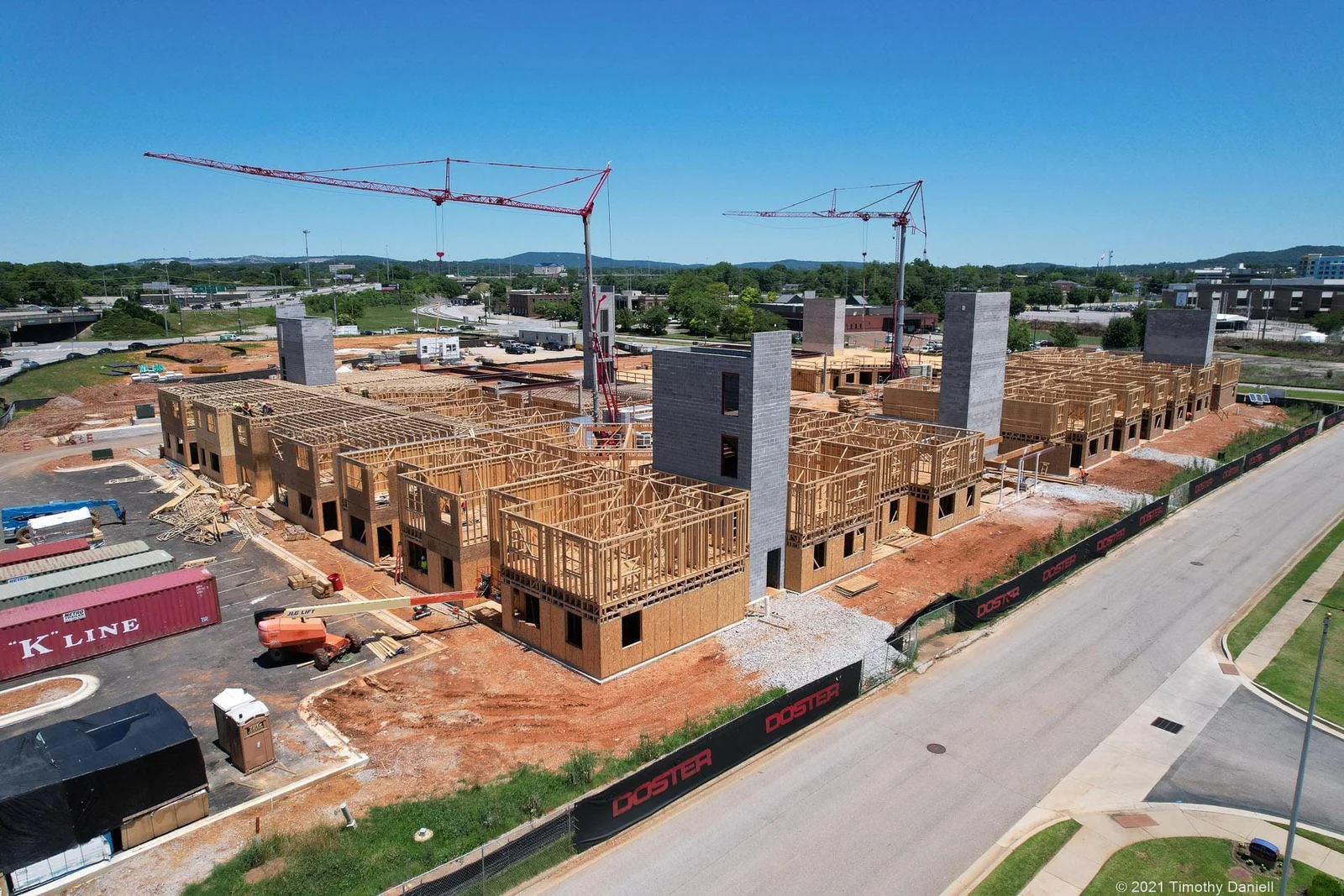

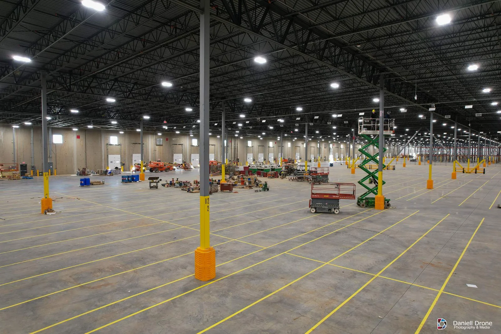
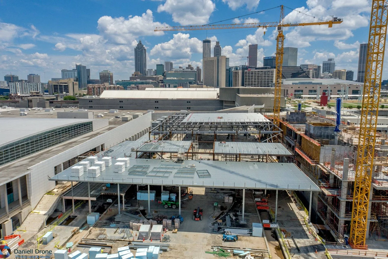
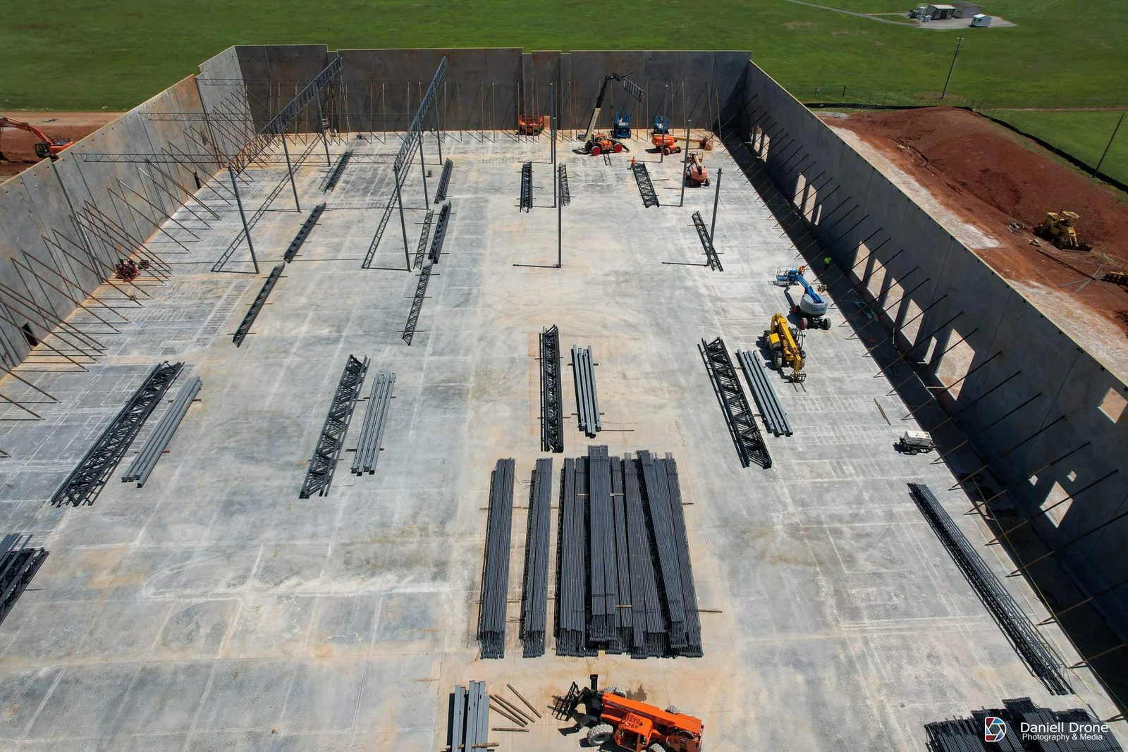
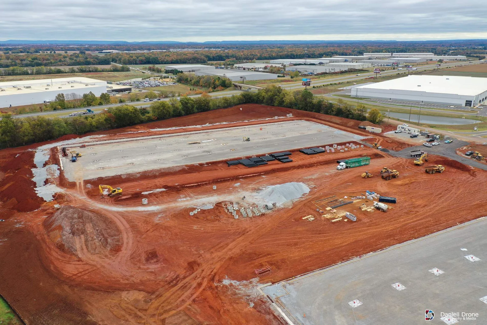
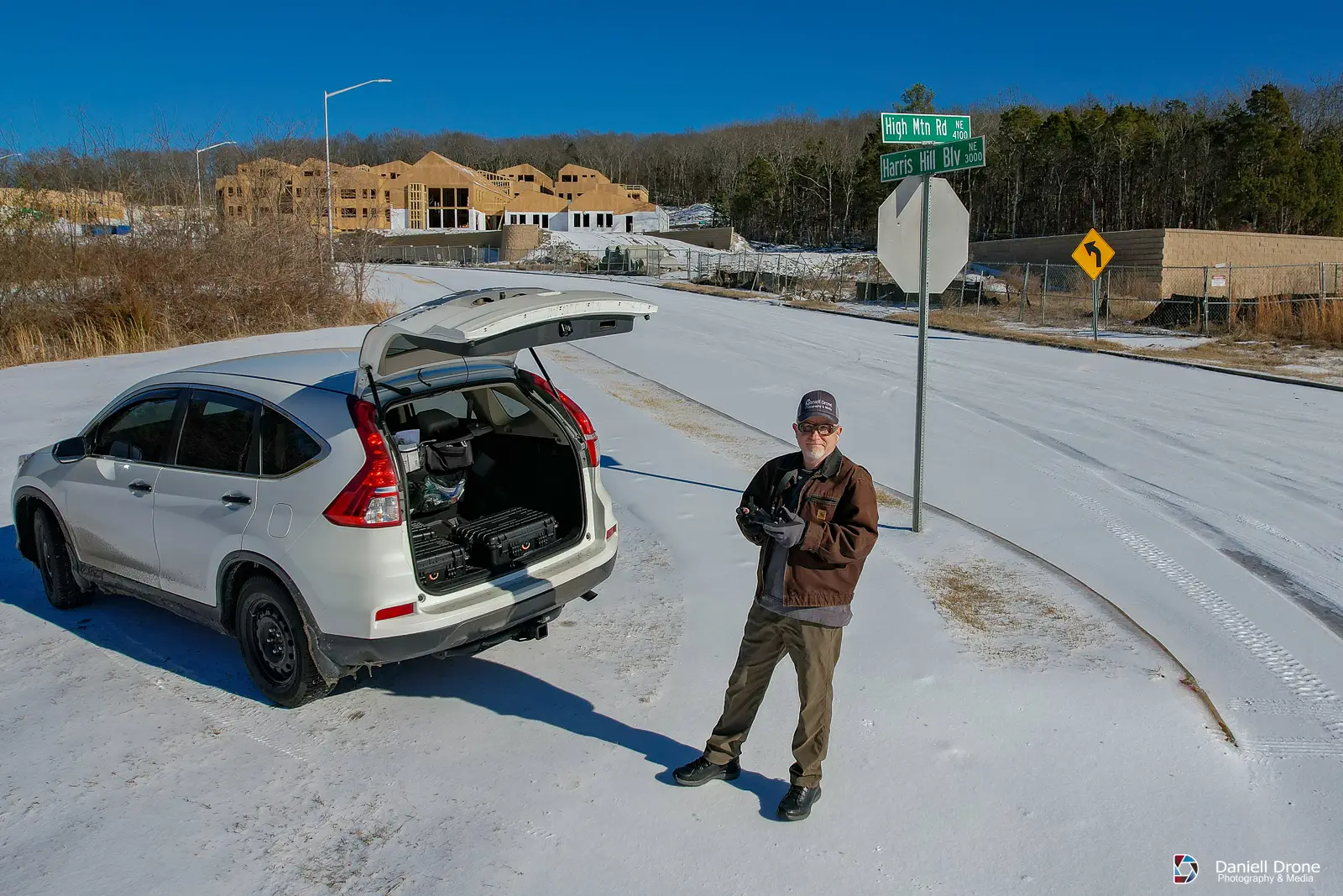
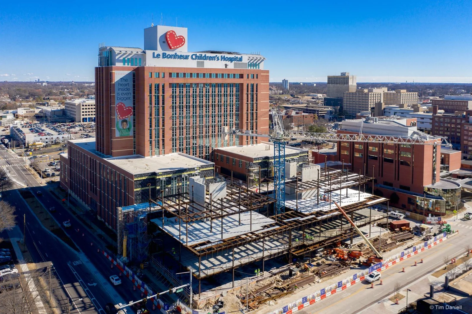
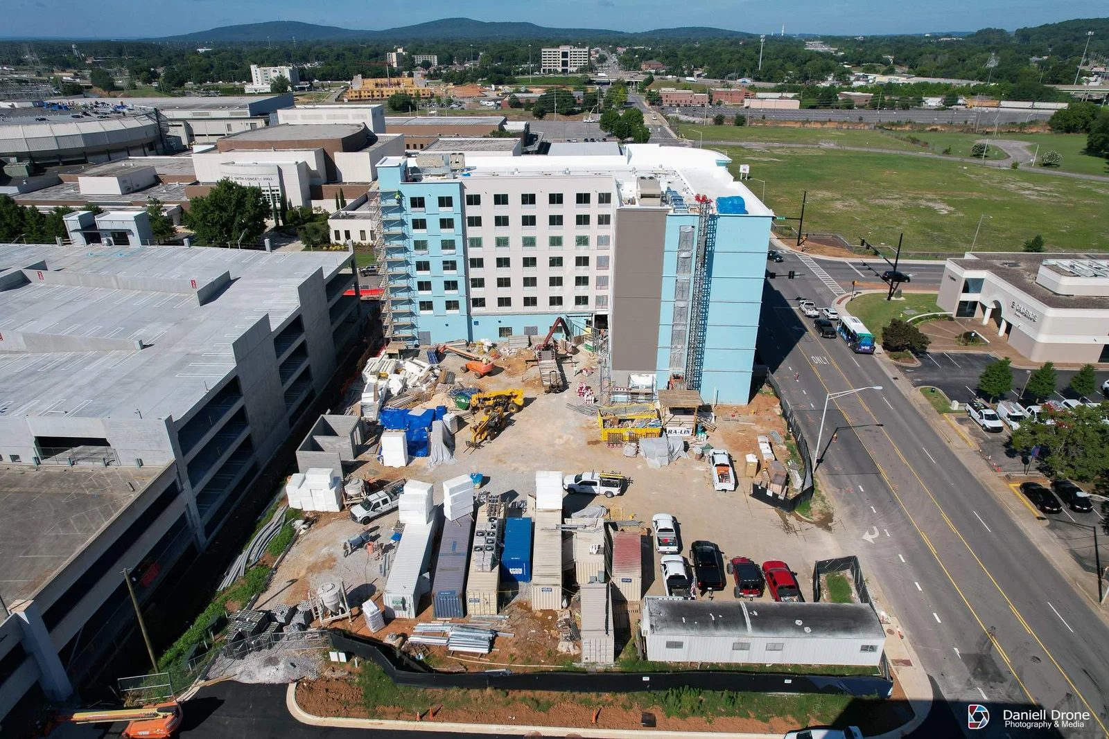
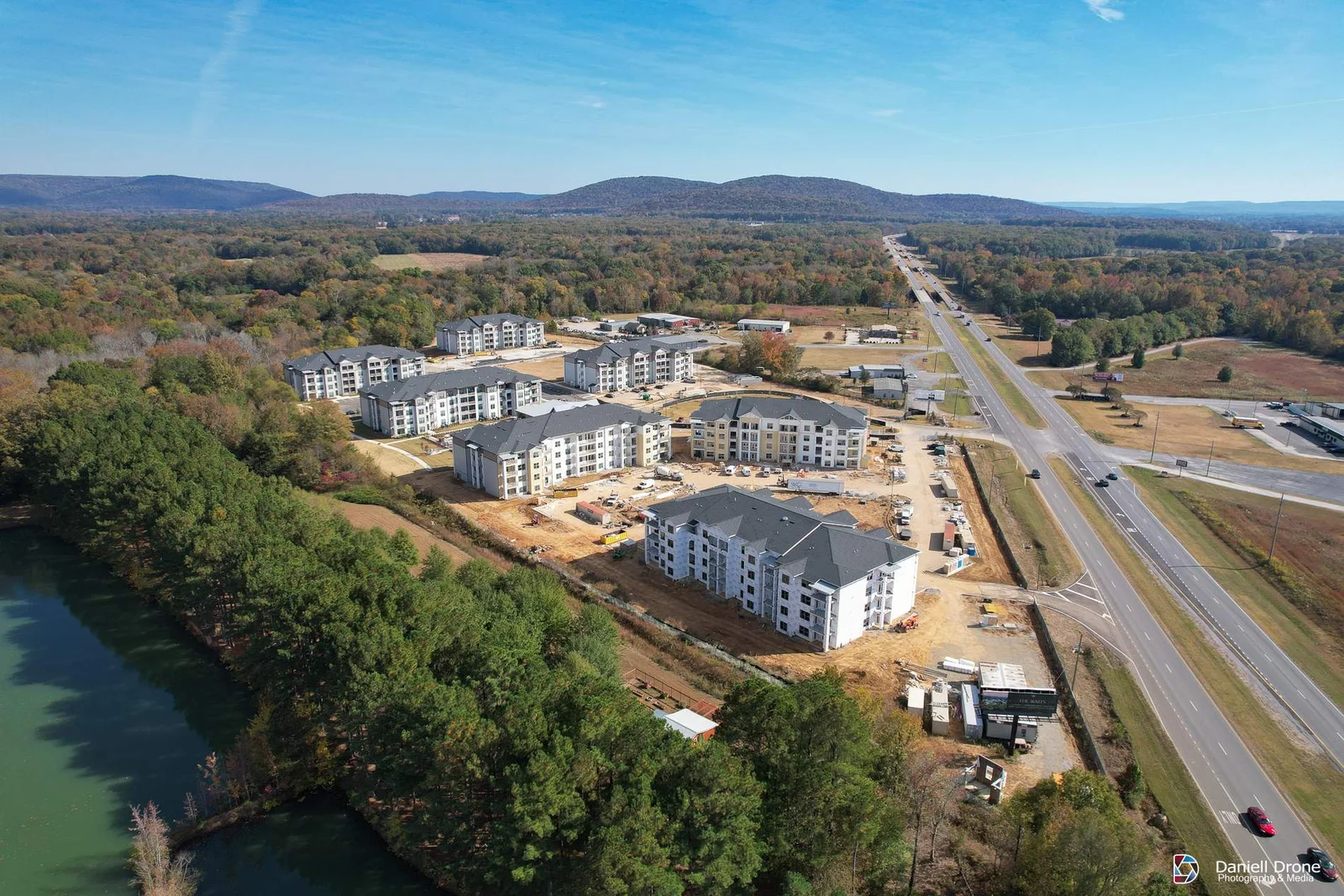
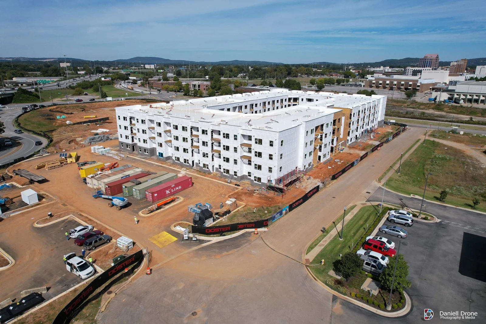
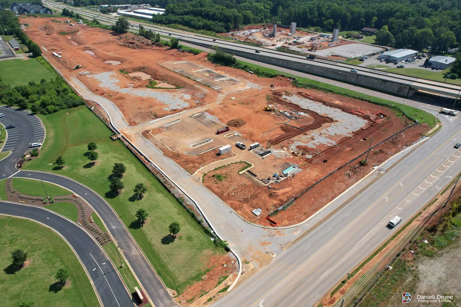
To schedule a free consultation with Daniell Drone Photography & Media, simply call us at (256) 410-1830 or fill out this form.
Send us a message!
We usually reply within 1 working day.
FAQ : Construction Progress Updates
How much does construction progress photography cost in Huntsville?
It depends on site size, flight frequency, and what deliverables you need. A single small site flown monthly costs less than a 100 acre site flown weekly with orthomosaics. Recurring schedules get better per-visit rates than one-off flights. Call (256) 410-1830 and we can usually quote your site the same day.
Can you fly drone photography near Redstone Arsenal or inside Huntsville's controlled airspace?
Yes. We obtain FAA authorization through the LAANC system for controlled airspace and coordinate directly with the FAA when a site needs a custom waiver. We have flown many projects inside Huntsville’s Class C airspace. This is part of the service, not an extra step for your team.
Does someone from our company need to be on site during the flight?
No. Once we are set up as a vendor and know your site rules, we check in at the gate, fly the planned route, and leave. Many of our clients never see us on site. We just show up in the photo folder the next morning.
What do we get with each progress flight?
A standard package includes a consistent set of high resolution aerial photos from fixed angles and altitudes. Most clients add a short video orbit. Orthomosaic maps, 360 aerial panoramas, and interior progress photos are available on request.
Can you take the exact same shots every visit so we can compare progress?
Yes, when requested, we log GPS positions, altitudes, and camera angles on the first flight and repeat them every visit. Side by side, your week 4 and week 40 photos line up.
Do you provide orthomosaic maps and can we measure from them?
Yes. We stitch hundreds of overlapping images into a single georeferenced map of the full site. You can measure distances, areas, and stockpile volumes from it. We have produced detailed orthomosaic mappings of sites over 300 acres, so size is rarely an issue. Processed maps are typically delivered within 24 to 48 hours of the flight.
Have you worked on large projects like data centers?
Yes. In 2025 we provided recurring drone documentation on several data center construction sites of more than 250 acres each, along with thousands of acres of other commercial and industrial builds across Alabama, Mississippi, Tennessee, and Georgia. We are familiar with the security, badging, and confidentiality requirements that come with these projects.